Human made stone piles, called cairns, have been erected since ancient times as burial monuments, trail markers, or related to astronomy. Some cultures use them to locate caches of food. This cairn was found on the beach next to Minard Castle on the Dingle Peninsula, Ireland. It sat atop a massive pile of rocks most likely placed there to prevent erosion.

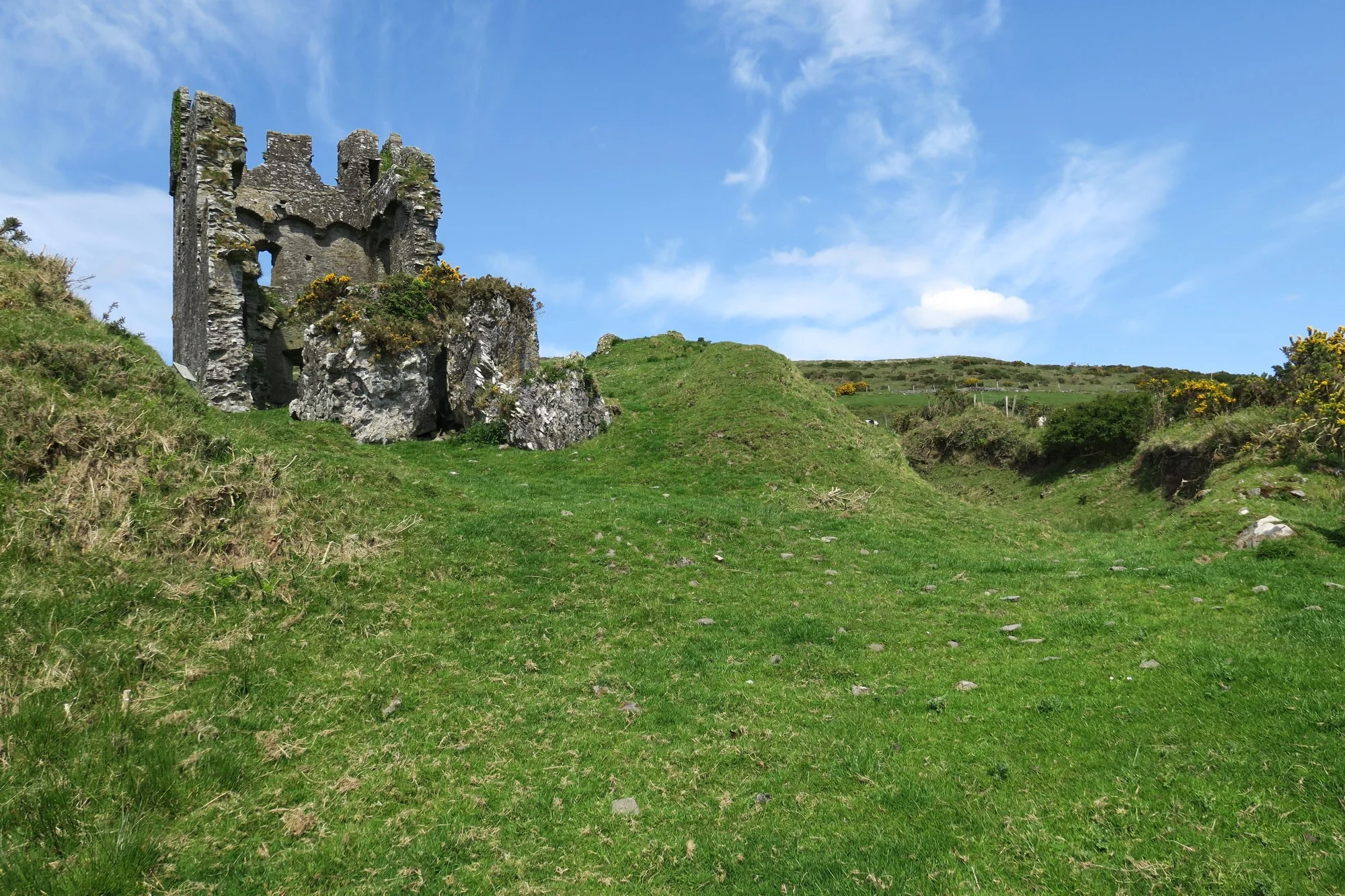
Minard Castle
The Old Testmant records the placement of a marker stone in 1 Samuel 7:12 NRSV: "Then Samuel took a stone and set it up between Mizpah and Jeshanah, and named it Ebenezer (stone of help); for he said, “Thus far the Lord has helped us.” Some Christians will remember the second verse from the hymn, Come Thou Fount of Every Blessing: "Here I raise mine Ebenezer; hither by thy help I’m come...."
Then, sometimes a pile of stones is simply a pile of stones to indicate someone has been in this place.